Have you ever wondered what it’s like to study volcanoes in the field? As an Earth Science student with a love for volcanoes, I certainly have! So, when I got the opportunity to travel to New Zealand to learn how to do volcanology field work, I jumped at the chance.
In March, 2026, the University of Tasmania (UTas) opened up their volcanology field work course beyond their student cohort, to other students, academics, and industry professionals. I participated as a student. So, for 12 days I studied in New Zealand alongside Master’s students from UTas under the expertise of Professors Martin Jutzeler and Lejun Zhang.
The core aim of the course was to learn how to describe and interpret volcanic deposits in the field. We looked at deposits across the Auckland Volcanic Zone and Taupo Volcanic Zone, interpretting the eruption style and determining how the material may have been moved post eruption. We also considered the cultural understanding of the volcanoes, hearing stories from Māori, or the tangata whenua (people of the land) about the eruption of Mt Tarawera and what the volcano means to them, among others.
From islands off the coast of Auckland, to the rugged landscapes of Tongario and Ruapehu, the trip was not without its challenges. As an Honours student participating in a Master’s level course where the majority of the participants had years of practical geology experience, there were many moments I felt out of my depth. From not noticing particular details in the deposits, to not knowing some of the terminology used, the course presented a lot of major learning opportunities. But, I can confidently say that I came out the other side of this experience with more skills and knowledge. And that alone would qualify this course as a great success.
Other than being an invaluable learning experience, this course also provided the opportunity to visit some incredible locations. Below are some highlights.
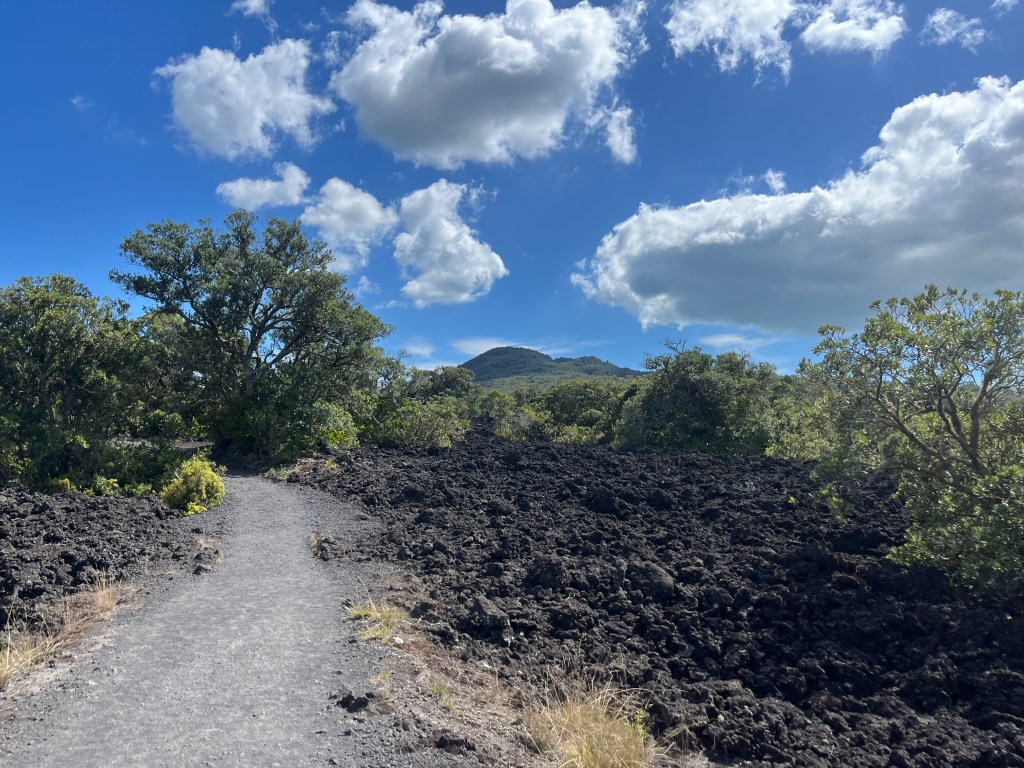
Rangitoto Island – this island is just a short ferry ride from Auckland and provides a beautiful landscape to walk alongside lava deposits, as you gently ascend to a phenomenal view of Auckland. Starting the course with this experience really set the bar high.
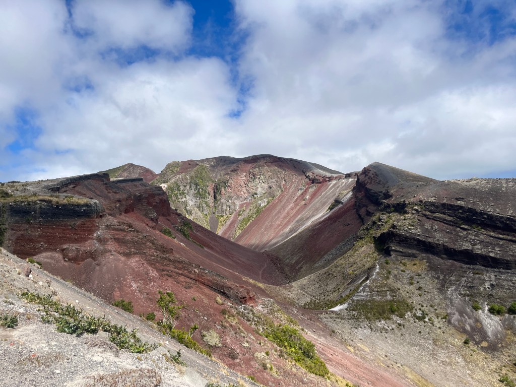
Mt Tarawera – this experience was a personal favourite. I visited New Zealand in 2019 with family and have fond memories of a boat ride on Lake Rotomahana where we could see part of Mt Tarawera. So, getting to come back and now climb into the crater of Mt Tarawera was a surreal, and challenging, experience. This experience can only be done as a guided tour, as it is a sacred Māori place. So, after an early wake up call, and a long, bumpy bus ride to our starting point, we set out for the crater. But to get to the crater, we first have to hike up, and then climb into the crater using a slightly terrifying scree slope! After a few moments of the guides reassuring us we wouldn’t just fall straight to the bottom of the crater, we dug our heels into the scree and began the descent (while our guides ran backwards down the slope of course). Straight into the heart of the crater. We weren’t allowed to stop and admire the view for long, as rocks could fall at any time, and soon we were climbing out using steps made for people much taller than I am and admiring the view from above once again.
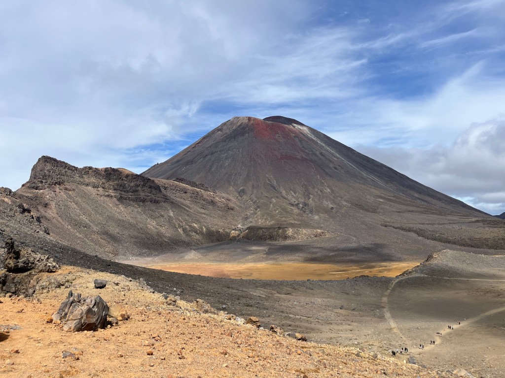
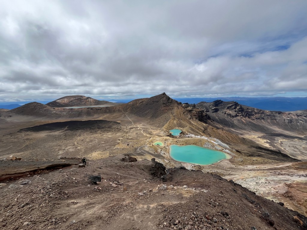
Tongario – this was the absolute highlight for me, and probably for most, if not all, of the group. A gruelling 21km hike with 12km of knee shattering descent, the traverse across Tongario was truly an experience for the ages. LOTR fans may recognise the formiddle Mt Ngauruhoe (na-ray-hoey) as the filming location for Mt Doom. And while this is the youngest part of Tongario and certainly steals a large part of the spotlight, there are so many more highlights. From the rugged lava fields, to the red crater, to the emerald lakes. Every part of the Tongario Alpine Crossing will take your breath away. Often literally too, as there is quite a climb up the “Devil’s Staircase” followed by another climb over rough uneven rocks! But the view at the top is worth every moment. Just take it carefully as you descend the scree slope to the emerald lakes, it’s not quite as deep as the one at Mt Tarawera and you will almost certainly slip at some point! Whilst this isn’t the longest hike I’ve ever done (24km in Iceland takes that spot), it is definitely the hardest hike I’ve ever done. But the forecasted rain stayed away, the views were phenomenal, and it was so worth it. And celebrating with a swim in a lake with the group after the hike was a perfect way to end a perfect day.
Of course, it wouldn’t be geology field work of any kind without a bit of bad weather. Surprisingly, we actually got very lucky. We had sunshine almost every day, and somehow no rain! But we did have wind. And honestly, wind is the worst. Especially when you’re on a black sand beach trying to interpret pillow lavas and the wind keeps threatening to rip your notebook out of your hand and launch into the ocean, hurling sand straight into your eyes at the same time. Overall though, I can’t really complain about the weather too much, but if you’re reading this because you’re curious about geology field work, make a mental note to always be prepared for the absolute worst weather possible!
Now it wouldn’t be right to share my experience on this field course without mentioning pumice. For all you non geologists out there, pumice is a lightweight volcanic rock formed when gas-rich, lava rapidly cools and depressurizes during explosive eruptions. Often this happens because it comes in contact with much cooler water. And, fun fact – huge boulders of it can actually float on water! This is called a pumice raft, and is exactly what happened after the enormous eruption of the Taupo caldera 26,000 years ago. The picture below is a pumice raft from that eruption. To be honest with you, this paragraph really serves no purpose other than getting to share a fun fact about a super cool volcanic rock, unless you were on the trip. Then you’ll probably get way too excited at the mention of pumice and pumice rafts.
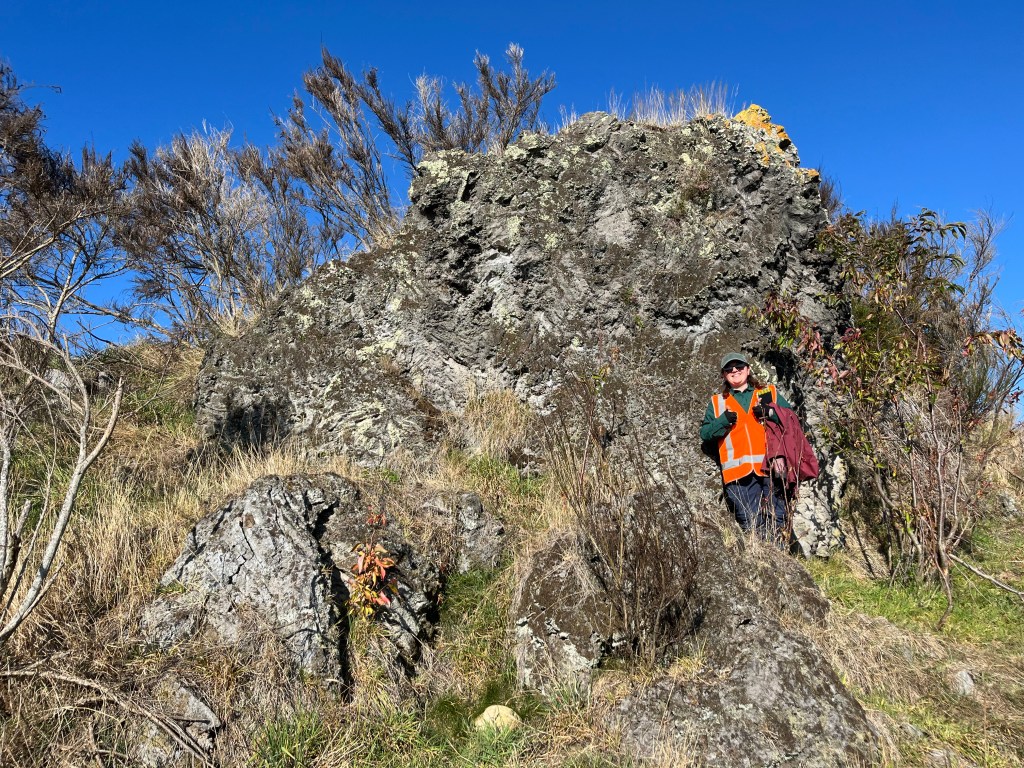
However, if I really had to narrow it down, getting excited about pumice really is a good summary of the trip. Perhaps that sounds a bit weird or maybe boring. But ultimately, this trip taught us how to appreciate the volcanic landscape and deposit that sits in front of us, with the one of the major lessons being “things are really complicated!” And it’s that moment of recognising something small in a deposit, like pumice, interpreting what that small piece of information is telling you, and then putting a bunch of small pieces of the puzzle together to figure out the story of how a volcanic deposit came to be. That’s what volcanology field work is all about.
I’d like to say a massive thank you to Professors Martin Jutzeler and Lejun Zhang from the University of Tasmania for not just having me on the trip, but supporting me, answering all my questions, giving me feedback, and helping to make the trip so worthwhile and memorable for all of us.
You can see more photos from the trip on my instagram @sciencewithcj_


Leave a Reply